EN SAVOIR PLUS SUR LES CONFERENCES COMMUNAUTAIRES
Conférences communautaires
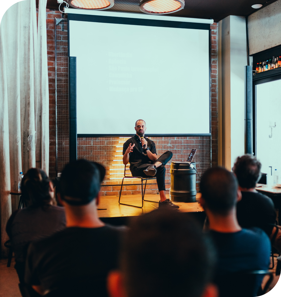
Avec Communauté & Partage comme valeurs phares de l’OGS, il est important de permettre à chaque membre de la communauté d’avoir l’opportunité de partager avec les autres membres au sujet de projets, de méthodes, d’outils et de retours d’expériences vécues et ayant attrait aux données géographiques et à l’observation de la Terre.
L’occasion pour chacun de découvrir tout ce qui peut se faire dans le domaine, de profiter de tels retours à forte valeur ajoutée, transposables à la région Pacifique, pour les intégrer dans ses propres projets et, idéalement, de créer ou renforcer les liens entre les membres d’une même communauté géospatial internationale !
Il s’agira ainsi de présentation d’ordre plutôt technique, avec des interventions d’institutions, de chercheurs, de sociétés privées, d’associations, d’organisations internationales, d’étudiants…
De multiples domaines seront alors abordés :
- Adaptation aux changements globaux
- Femmes océaniennes dans le géospatial
- Biodiversité
- Gestion des ressources naturelles et services écosystémiques
- Projets basés sur de l’imagerie spatiale radar (SAR)
- Télécommunications et mobilité
- Infrastructures de données géospatiales
Ces interventions permettront ainsi également de cerner les différents outils disponibles et permettant d’adresser les problématiques régionales prioritaires, dont celles abordées dans le cadre des sessions de l’OSS NC.
 Association avec MDPI Remote Sensing pour la publication des abstracts
Welcome coffee
Speed meetings
Parallel Sessions
PS1: Global changes adaptation
PRESENTATION
PRESENTATION
PRESENTATION
EO4DroughtMonitoring, a solution adressing global changes
Mathis NEUHAUSER - INSIGHT/IRD New CaledoniaPRESENTATION
The CLIPSSA project 2021-2025: Pacific Climate, Local Knowledge and Adaptation Strategies
Christopher MENKES - IRDPRESENTATION
Imagery, an analysis and decision support tool for coastal erosion in the Northern province- New Caledonia
Mathieu ESTEBE - Northern Division (NC)PRESENTATION
Pacific Ocean Pathways in support of sustainable development: a transdisciplinary approach
Alexandre GANACHAUD - IRDPRESENTATION
Earth Observation supporting Emergency Response
Airbus supporting Emergency Response
Fabrice TRIFFAUT - AIRBUS DEFENCE AND SPACE - CanberraCoffee Break
PS2: Oceanian Women in Geospatial
PRESENTATION
Making a Difference for Geospatial Information in Fiji and the Pacific
Meizyanne HICKS - Director Geospatial Information Management Ministry of Lands & Mineral Resources FijiPacific women in Geospatial, with a short video
Halalilika ETIKA - PGSCLunch
PS3: Ecosystem services, Biodiversity & Natural resources
PRESENTATION
Mangrove ecological services at the forefront of coastal change in the French overseas territories
Thibault CATRY - IRDTetiaroa: a geomatic database for coralian atoll monitoring and mapping
Benoit STOLL - UPFCoffee Break
PS4: Maritime domain awareness
The Natural Park of the Coral Sea: current and future needs
Arnaud DUBOIS - New Caledonia Government (SPNMC)Maritime Operations to Detect IUU Fishing
Geordie FISCHER - Forum Fisheries Agency (FFA)Space-based Radiofrequency (RF) monitoring of maritime activities in the Pacific
Clément ARATA - UNSEENLABSAIRBUS for Safer Oceans - Maritime Surveillance Services
Fabrice TRIFFAUT - AIRBUS Defence & SpaceRadar and Maritime Domain Awareness: current and future capabilities
Delwyn MOLLER, Ph.D. University of Auckland ReSTORe Labs - University of AucklandAutonomous data acquisition systems to enhance MDA in the Pacific
Michael FIELD - Island RoboticsWelcome coffee
PS5: Pacific projects based on radar (SAR) satellite imagery
Recent Developments of Spaceborne Radar Remote Sensing and Opportunities
ESA - Sentinel 1 - Mission status and evolution
Zheng-Shu ZHOU - CSIROSentinel 1 and 2 timeseries for hydrodynamics and habitat mapping in the Amazon
Thibault CATRY - IRDRadar coherence to monitor gully erosion impairing water quality of the Great Barrier Reef
Pascal CASTELLAZZI - CSIROStatistics and Remote Sensing: An Educational Approach
Alejandro FRERY - School of Mathematics and Statistics Te Herenga Waka – Victoria University of Wellington New ZealandCoffee Break
PS6: Telecommunication & Mobility
Lunch
PS7: Spatial data infrastructures
Spatial Data Infrastructure for vessel monitoring in the Coral Sea Natural Park
Yann-Eric BOYEAU - MAGIS NCPresentation of the data infrastructure of GIE SERAIL and its partners
Fabien CAPRI - GIE SERAILEasy access to satellite imagery from the Pacific
Fabrice TRIFFAUT - AIRBUS Defence & SpaceDINAMIS, the National Institutional Device for Mutualized Supply of Satellite Imagery
Jean-François FAURE - IRDPacific Data Hub and Nexu Platform - an open data spatial data infrastructure for the Pacific
Sachindras SINGH - SPCCoffee Break
Space Climate Observatory in the Pacific
Boosting climate monitoring applications: the space for climate observatory
Frédéric BRETAR - CNESThe Mangmap platform prototype: mangrove monitoring assisted by satellite
Jean-François FAURE - IRD/UMR Espace-dev and Elodie BLANCHARD - IRD/UMR Espace-dev, LaTeleScopEarth Observation for Drought Monitoring (EO4DM)
Mathis NEUHAUSER - INSIGHT/IRD New caledoniaCoffee Break
CEOS Duplex
RESSOURCES
Documentations des conférences communautaires
OGS n’existerait pas sans…
Nos partenaires
Partagez avec la communauté via…
Du contenu réseaux sociaux
Travaillez pour le bien commun, profitez de…

